


Precision topographical surveys, setting out, and 3D laser scanning for construction, architecture, and infrastructure.
Comprehensive surveying solutions delivered with precision, accuracy, and professionalism
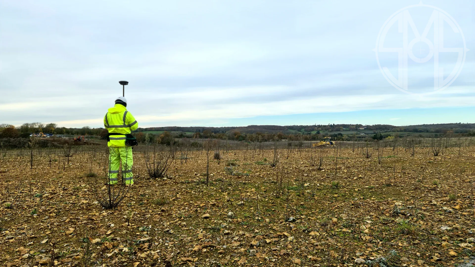
Used on projects within the UK civil engineering, infrastructure, and construction sectors.
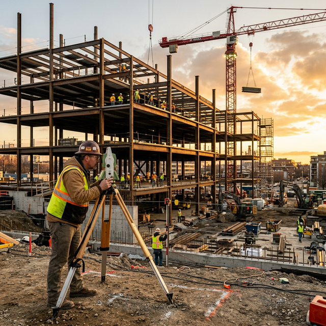
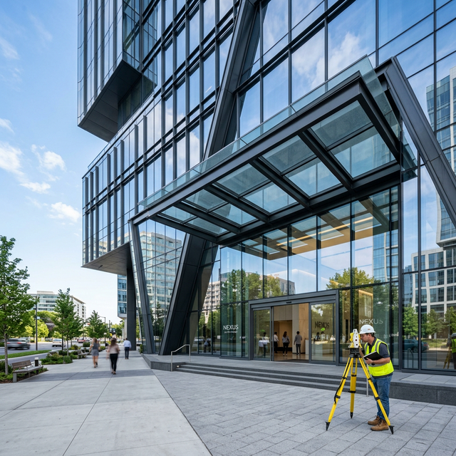
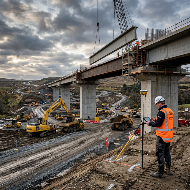

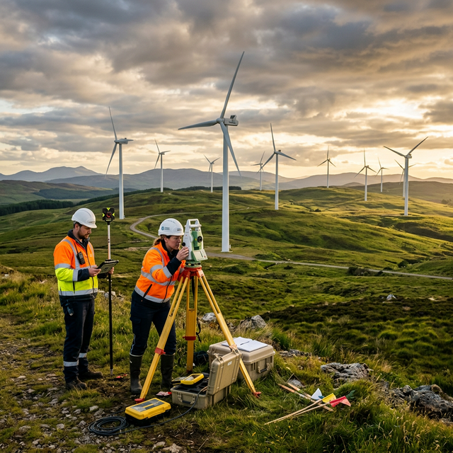
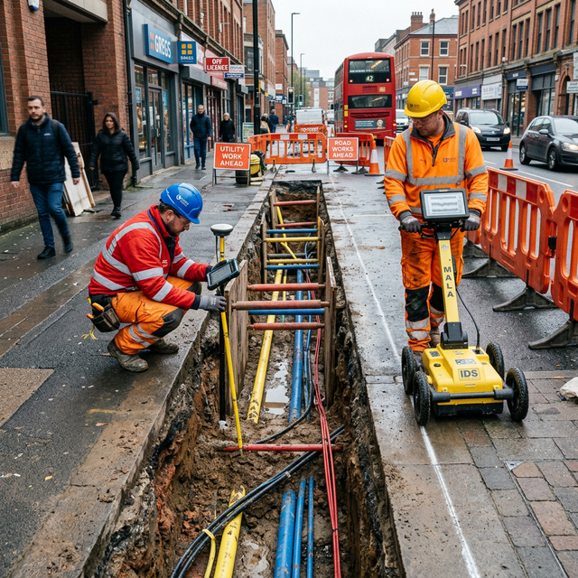
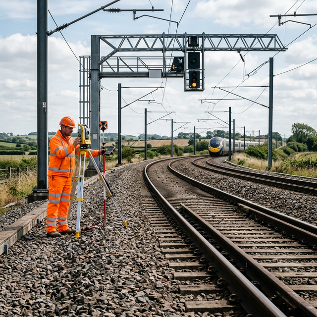
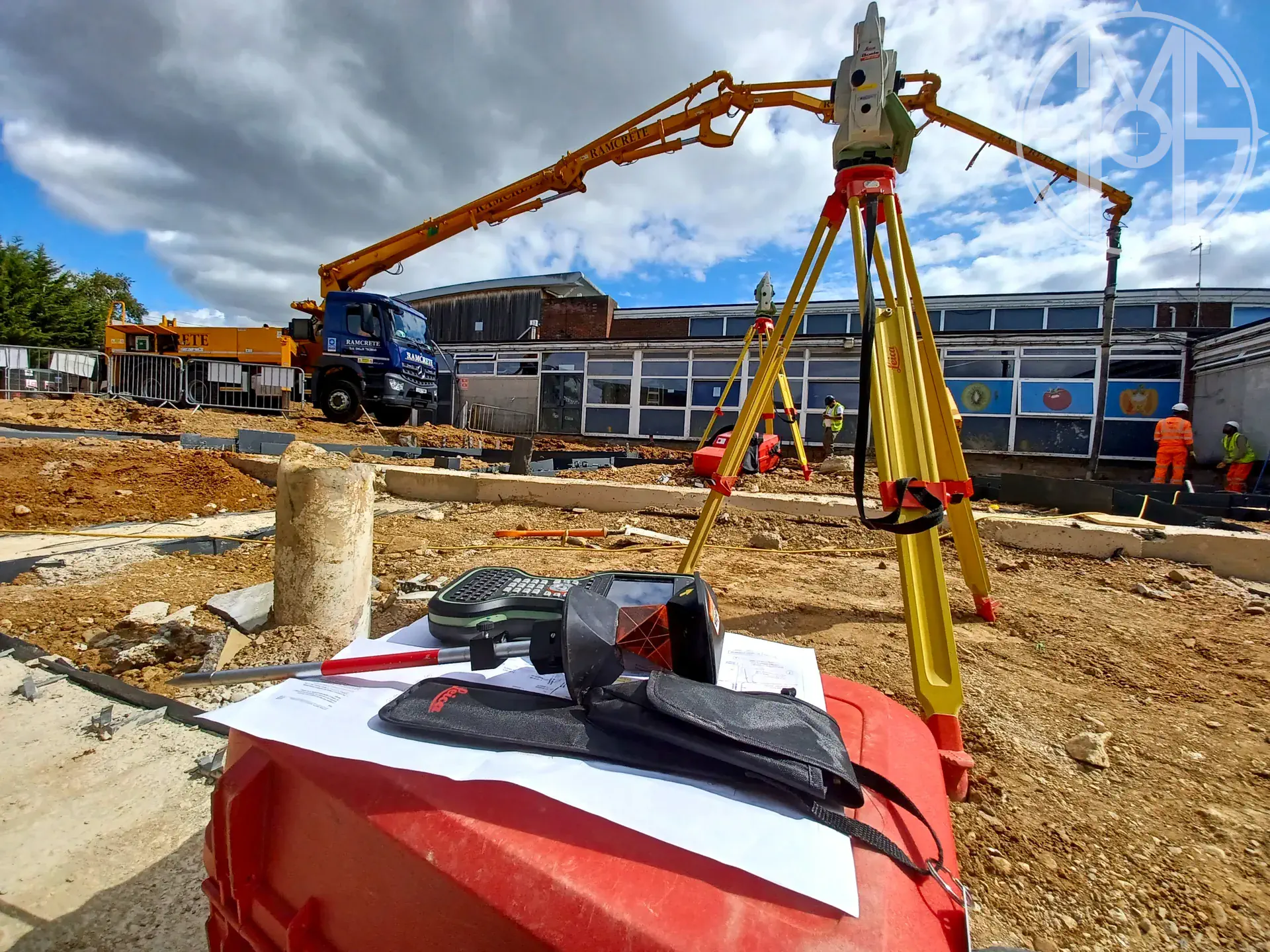
High-precision instruments used for measurement, setting out, and geospatial data acquisition.
Leica TS15, TS16 · Geomax Zoom series · Trimble S series
Used for precise angular and distance measurement in setting out, topographical surveys, and structural monitoring applications.
Leica GS16, GS18 T
GNSS rover systems for real-time positioning and topographic surveying in open environments and mixed site conditions.
Leica Sprinter · Leica LS15
Digital levelling instruments used for precise height determination and settlement monitoring surveys.
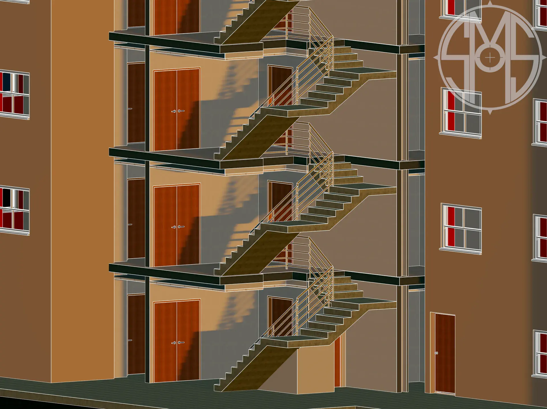
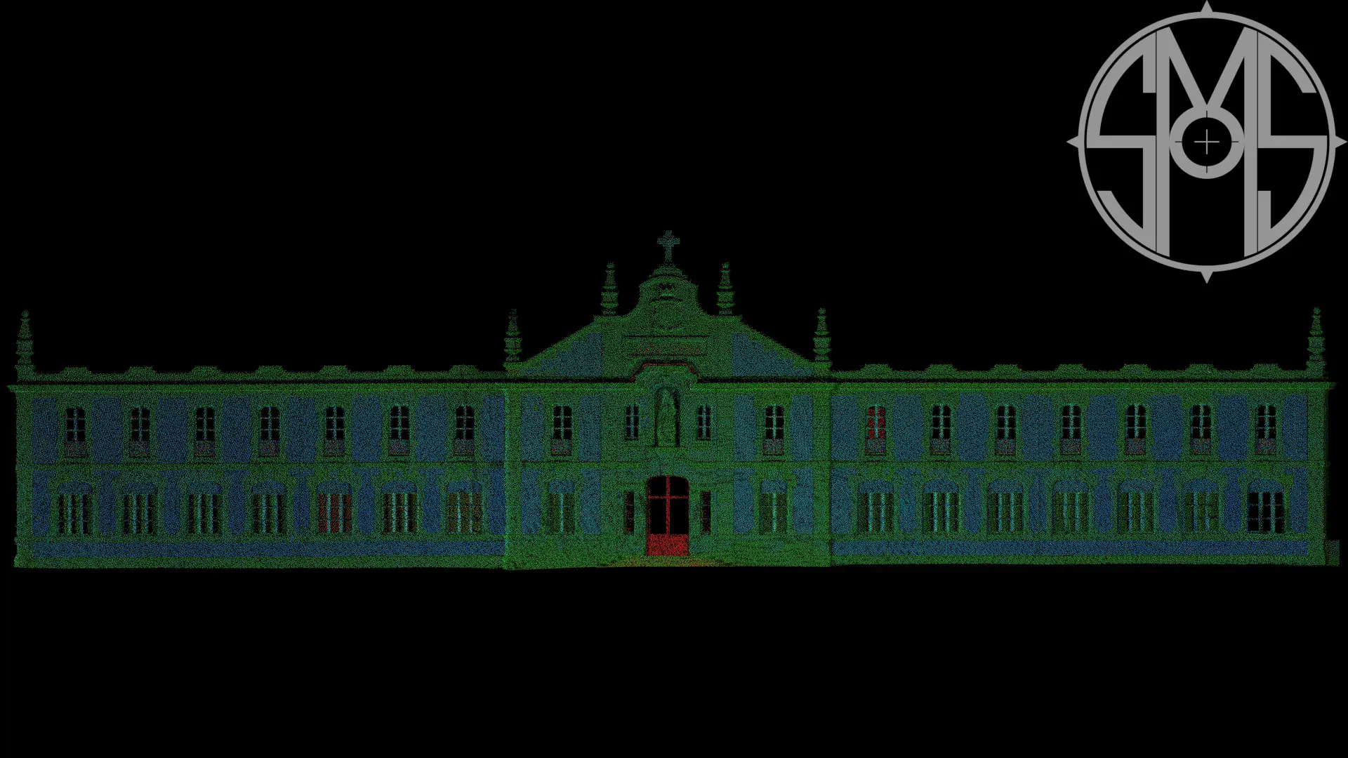
Leica P40 · RTC360 · Trimble X7 · BLK360
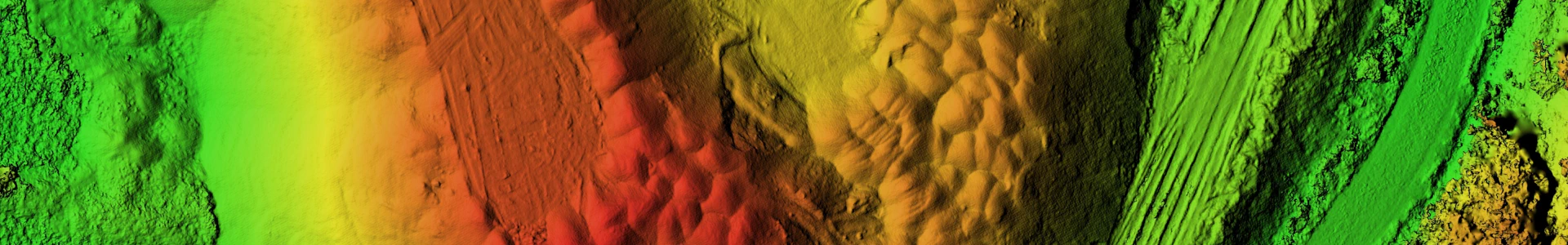
Terrestrial laser scanning systems for high-density 3D data capture of existing site conditions and built assets.